Cadastral Services
- It constitutes an essential tool for the rational organization and development of the country.
._2908")
- PROPERTY REGISTRATION STATEMENT
Required documents for the Cadastral Declaration:
1. Title deeds
2. Registration certificates
3. Copy of identification
4. Proof of Tax Identification Number (any official document or utility bill)
5. Authorization
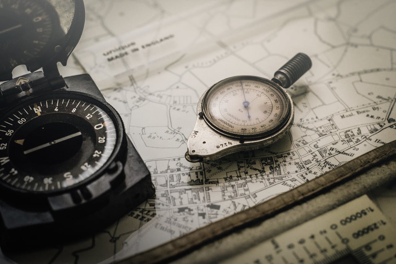
6. Topographic Map with coordinates in the E.G.S.A. ’87 system
The Topographic Diagram with coordinates in the National Reference System EGS’87 ensures the accurate registration of your property by the Cadastre. With low cost at this stage, you can save multiple amounts of money in the future and avoid potential distress without a positive outcome in order to correct any errors after the completion of the Land Surveying Study.
Owners who have real rights over properties must submit a relevant declaration to the Cadastral Offices.
On July 23, 2018, the submission of Property Declarations under the Law began. 2308/95 for the establishment of the National Cadastre in the former Kapodistrian Communities of Varnava, Grammatiko, Kalamos, Kapandriti, Markopoulo Oropos, Nea Palatia, Skala Oropos, Sycamino, and Oropos in the Regional Unit of Eastern Attica of the Region of Attica.
The deadline for submitting declarations for residents within the country is three months (23/10/2018), while for residents abroad it is six months (23/01/2019).
In both cases, the submission of a declaration is mandatory. If no declaration is submitted or if the information submitted does not sufficiently prove the acquisition of rights over the property, the right will not be registered in the “First Registrations” and/or “Final Registrations” of the Cadastre.


- SUBMISSION OF OBJECTIONS
Our team can take charge of reviewing the information from the posting and advise you on any necessary further actions to secure your rights.
- PROPERTY IDENTIFICATION – TITLE / DEED APPLICATION
With our modern surveying equipment, we are capable of responsibly determining the boundaries of your property, which is usually carried out through the following steps:
- Study of property titles and any old diagrams of the property, records from public services, and older aerial photographs of the area, aimed at a preliminary assessment of the location of the property boundaries.
- Outdoor inspection and topographic documentation of the established boundaries and evidence of the property area (stakes, fences, dry stone walls, walls, etc.), which are taken into account in the final calculation.
- Calculation of the boundaries described in the titles and their application and marking on the ground.
- USUCAPTION


- CADASTRAL SURVEYING – HYDROGRAPHY
We develop Cadastral Surveys for large areas of public or private interest, aimed at creating a baseline for the execution of major engineering projects (roadworks, wind farms, hotel units, coastal facilities, port works, etc.).
We also possess the experience and expertise for the successful execution of hydrographic surveys.
- COASTLINE – BEACH
We undertake the preparation of a Topographic Diagram for a coastal area and the application of the boundary line of the Coastline and the beach for the delineation of the property.
- DISTRIBUTION OF LAND – SUBDIVISION OF PROPERTY
The distribution of land and the subdivision of property, which is validated by a notarial act, requires the preparation of a topographic study leading to the drafting of a topographic diagram that illustrates the new properties.
The correct application of zoning legislation and the comprehensive assessment of all factors affecting the property is a critical element, so that the optimal feasible and urbanistically viable solution can be realized, which will increase the overall value of the land/property after its distribution/subdivision.
- MONITORING OF FOREST MAP PUBLICATION
- SUPPORT FOR THE SUBMISSION OF OBJECTIONS / APPEALS
- CERTIFICATE OF ENGINEER
With the above-mentioned responsible declaration by the owner and the engineer’s certificate, it is declared and certified respectively that:
a) there are no buildings on the property or
b) on the property or in the distinct autonomous horizontal or vertical property, excluding the common shared areas of the property, no unauthorized constructions have been executed beyond the allowed building density, coverage, and height of the property, and that no uses have been established without authorization or,
c) the existing unauthorized constructions or the established unauthorized uses fall under one of the exceptions of paragraph 2 of Article 82 and are not subject to any other cases outlined in Article 89 of Law 4495/2017.

- REGULARIZATION OF ILLEGAL CONSTRUCTIONS
- ENERGY PERFORMANCE CERTIFICATE

The Energy Performance Certificate (EPC) illustrates the energy classification of a property. The EPC includes, among other things, the general characteristics of the property, the estimated annual total primary energy consumption of the reference building and the examined building, the annual energy consumption per energy source and final use, the actual annual total final energy consumption, the estimated and actual annual carbon dioxide emissions, as well as recommendations for improving the energy efficiency of the building.
The EPC is mandatory for every lease or sale of property and is valid for ten years, except in the case of a major renovation of the property, in which case its validity ends upon the completion of the renovation works and a new one must be issued.
At EUROENGINEERING, we undertake the issuance of the EPC for your property swiftly and economically.
_1452")

_1244")


Why Choose
EUROENGINEERING;
We offer specialized services aimed at providing you with the best support for land registry, always with affordable costs and high quality.

Professionalism
Our team consists of experienced engineers and partner lawyers who ensure the proper management of your assets.
Affordable Prices
We offer the best prices on the market, ensuring that you can access high-quality services without incurring financial strain.